This blog explores the internal structure of the Earth, focusing on its three primary layers: the c…
Read MoreThis blog explains the classification of rocks into three main types—igneous, sedimentary, and meta…
Read MoreThis blog explores the phenomenon of earthquakes, including their geological causes, classification…
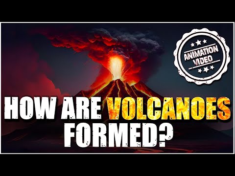
Read MoreThis blog delves into volcanoes, explaining their types, global distribution patterns, and the far-…
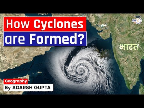
Read MoreThis blog explores the world of cyclones—how they form, their various types, and the critical prepa…
Read MoreThis blog explores tsunamis—how they form, their devastating impacts, and the crucial steps that ca…
Read MoreThis blog explores the causes of earthquakes, the seismic zones they impact, and the essential prep…
Read MoreThis blog explores the classification of volcanoes, their global distribution, and the multifaceted…
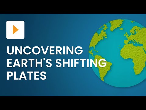
Read MoreThis blog explores the revolutionary theory of plate tectonics and its roots in the concept of cont…
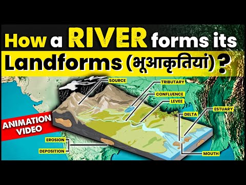
Read MoreThis blog delves into the dynamic processes through which rivers shape the Earth's surface, explain…
Read MoreThis blog explores how glaciers shape the Earth's topography, forming dramatic landforms such as U-…
Read MoreThis blog explores how winds act as a powerful agent of erosion, transportation, and deposition in …
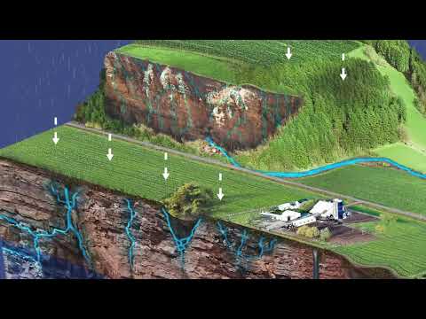
Read MoreThis blog explains how underground water shapes unique landforms like caves, stalactites, stalagmit…
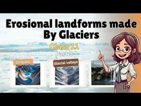
Read MoreThis blog explores how glaciers, through erosion and deposition, shape distinctive landforms such a…
Read MoreThis blog explores the Solar System—its structure, planets, moons, and other celestial bodies—shedd…
Read MoreThis blog explores the major scientific theories explaining the origin, structure, and evolution of…
Read MoreGovardhan Eco Village (GEV) is a model eco-community that integrates sustainable living, rural deve…
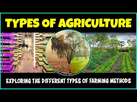
Read MoreAgriculture, the backbone of human civilization, has evolved in diverse forms across different regi…
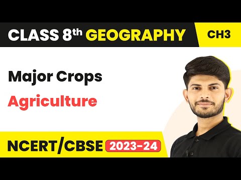
Read MoreCrops are the backbone of human sustenance and economic activity. From staple cereals to cash crops…
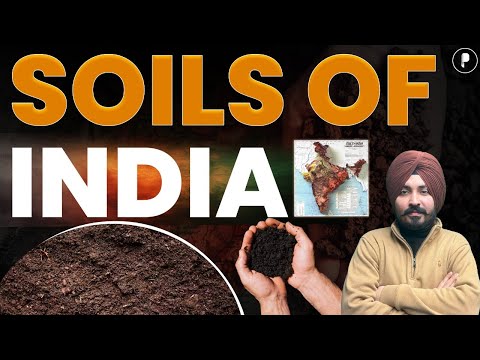
Read MoreSoil is the thin layer of material that covers the Earth's surface and supports all terrestrial lif…
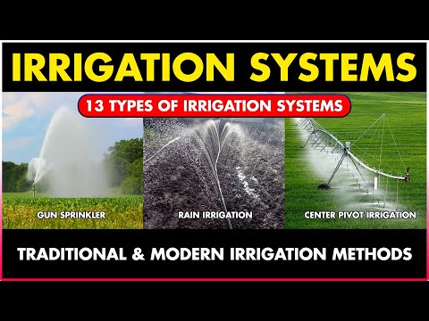
Read MoreIrrigation is the artificial application of water to land to assist in the production of crops. Wit…
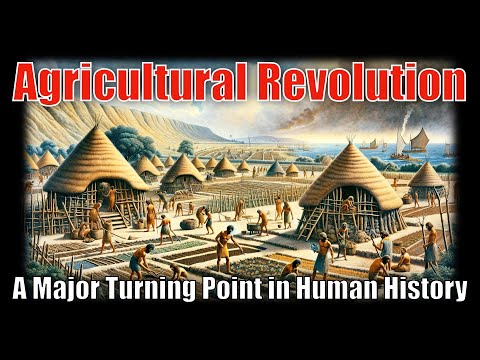
Read MoreThe Agricultural Revolution refers to the transition of human societies from hunting and gathering …
Read MoreClimate and vegetation zones are natural divisions on Earth, shaped by temperature, rainfall, altit…
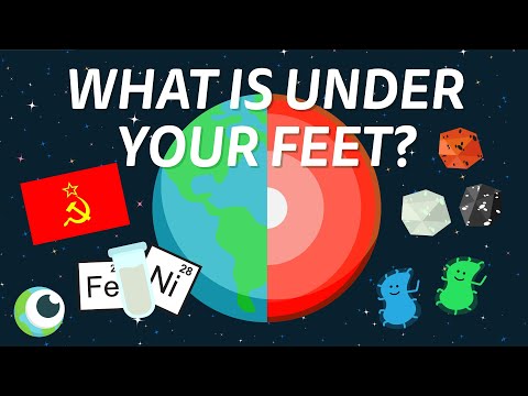
Read MoreThe Earth’s internal structure is made up of distinct layers: the crust, mantle, outer core, and in…
Read MoreThe City Livability Index evaluates cities based on factors like housing, environment, health, educ…
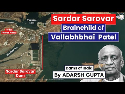
Read MoreThe Sardar Sarovar Dam, built on the Narmada River in Gujarat, is one of India's largest and most c…
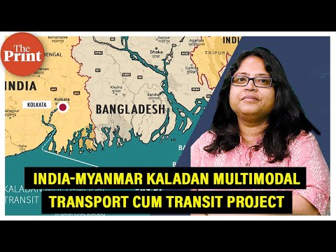
Read MoreThe Kaladan Multi-Modal Transit Transport Project (KMTTP) is a major India-funded infrastructure in…
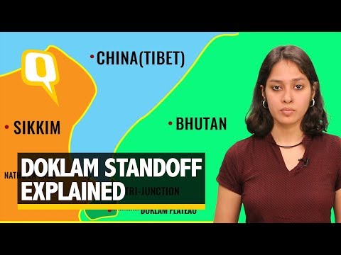
Read MoreThe Doklam Plateau is a strategically sensitive region located near the tri-junction of India, Chin…
Read MoreGilgit-Baltistan, located in the northernmost part of the Indian subcontinent, is a strategically i…
Read MoreThe Shanghai Cooperation Organisation (SCO) Summit 2024, hosted in Astana, Kazakhstan, marked a piv…
Read MoreThe Bosporus Strait is a narrow, natural waterway in northwestern Turkey that forms part of the bou…
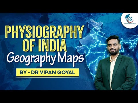
Read MoreThe physiography of India is diverse and complex, encompassing lofty mountains, vast plains, platea…
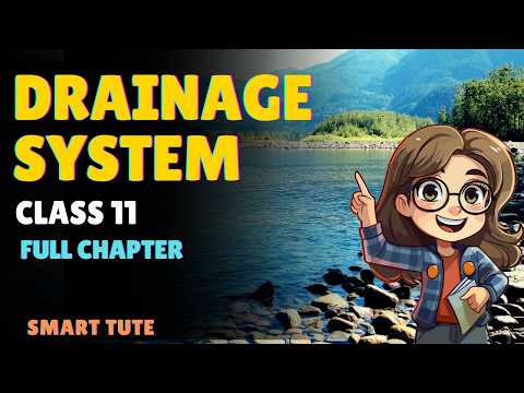
Read MoreThe drainage system refers to the natural or artificial network of rivers, streams, and channels th…
Read MoreEl Niño and La Niña are opposite phases of the El Niño-Southern Oscillation (ENSO) cycle, a recurri…
Read MoreThe Census in India is the largest administrative exercise to collect, record, and analyze demograp…
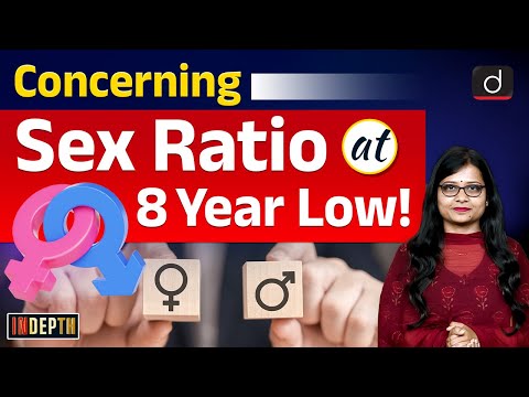
Read MoreSex ratio, defined as the number of females per 1000 males, is a key demographic indicator reflecti…
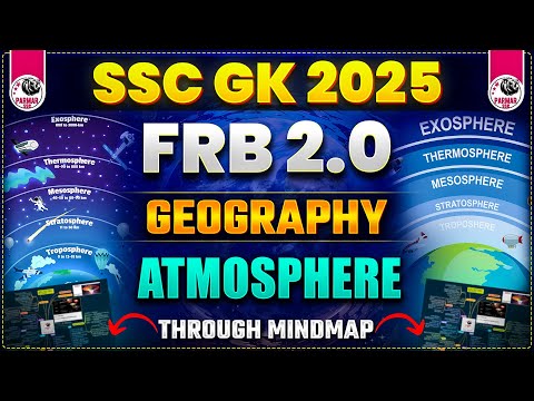
Read MoreThe atmosphere is a thin layer of gases surrounding the Earth, crucial for life, weather, and clima…
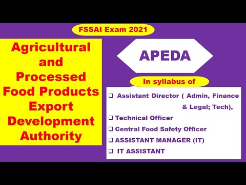
Read MoreThe Agricultural and Processed Food Products Export Development Authority (APEDA) is a statutory bo…
Read MoreFood security in India refers to the availability, accessibility, and affordability of food for all…
Read MoreChoose an option to continue: